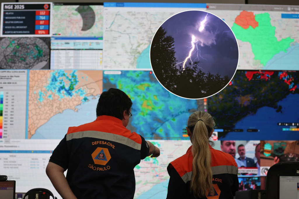

What are your plans for the weekend? Bring an umbrella—it’s going to rain! On Wednesday (21), the Civil Defense issued a warning for the entire state of São Paulo in light of the forecast for rain showers and gusty winds between today (22) and Saturday (24).
With moderate to heavy downpours accompanied by lightning and wind, this stretch of rainy days calls for heightened vigilance, as the volume of water is expected to saturate the ground and raise the levels of rivers and streams throughout the city.
Civil Defense forecast for the coming days:
- Thursday (22): Moderate to heavy showers, mainly toward the end of the day, accompanied by lightning and gusty winds. There is a possibility of heavy rain in Greater São Paulo.
- Friday (23): Unstable weather continues, with new moderate to heavy showers, lightning, and gusts of wind.
- Saturday (24): Rain across much of the state, heightening concerns about waterlogged soil and rising water levels in waterways.
The high volume of rainfall in short bursts raises concerns that go far beyond flooding, flash floods, and landslides. The situation also calls for vigilance regarding the possibility of falling trees and power outages; therefore, it is essential to be prepared.
Weather context
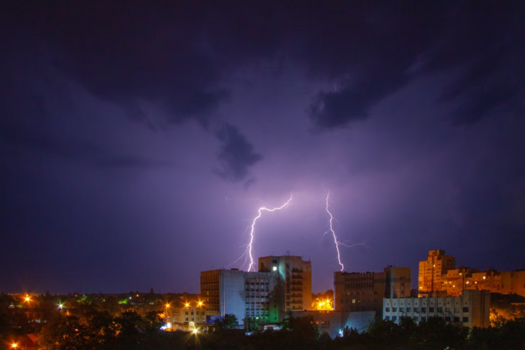
This explanation comes from an analysis by meteorologist Estael Sias, published by MetSul on October 21. The increase in rainfall over the next few days is due to a low-pressure system over Paraguay that is moving eastward, bringing precipitation to the states of Paraná and São Paulo.
Although El Niño is influencing the current weather pattern, it is not the sole cause of recent weather events. The current climate context is broader, with the low-pressure system identified as the primary cause of the increased rainfall at this time.
Civil Defense Alert: How to Protect Yourself from the Disruptions Caused by the Rain?
The current risks center on flooding caused by overloaded urban drainage systems, with large amounts of water accumulating in a short time, exceeding the drainage capacity of streets and avenues. In addition, there are concerns about rivers and streams overflowing.
Homes built on hillsides may also be at risk due to saturated soil, especially in areas vulnerable to landslides. The alert extends to highways, where guardrails may collapse and visibility may be reduced, in addition to the risk of vehicles hydroplaning on the roadways.
According to the director of Civil Defense, Lieutenant Colonel Adriano Baruffaldi, the recommendation is to prepare your home for the rain by cleaning gutters and drains, checking the condition of the roof, and securing objects that could be carried away by strong winds.
During storms, it is essential to avoid flooded areas, flooded streets, or sections with strong currents, whether on foot or by car. Avoid taking shelter under trees due to the risk of lightning strikes, and stay informed about official advisories.
For those living on hillsides, the recommendation is to watch for signs of possible landslides. If you notice cracks in the ground or walls, leaning trees or utility poles, or hear cracking sounds in the ground, leave the area immediately and contact Civil Defense.
Useful Contacts
- Free SMS alerts: Text your area’s ZIP code to 40199.
- Civil Defense: Dial 199.
- Fire Department: Dial 193.