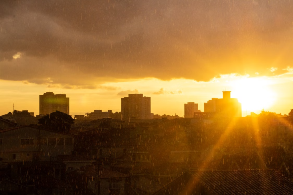

According to a bulletin from the U.S. agency NOAA, El Niño is expected to peak in late 2026. The forecast also warns that the phenomenon will intensify and projects that it will remain strong to very strong through March 2027.
The warm phase of the El Niño–Southern Oscillation phenomenon, El Niño, is characterized by a marked warming of the waters of the central and eastern Equatorial Pacific. This phenomenon is also accompanied by changes in atmospheric circulation. La Niña, on the other hand, is characterized by the cold phase of the same system.
Under normal conditions, the trade winds push the warm waters toward Asia, while the cold waters move toward South America.
However, during El Niño, the winds lose strength. As a result, the warm waters shift eastward and influence the areas where clouds and rain form in the Pacific. This alters the expected wind and temperature patterns across the entire planet.
Therefore, the phenomenon is not limited to warmer seas alone, but rather involves a complex interaction between the ocean and the atmosphere. In recent days, NOAA bulletins have reported warming waters and changes in wind patterns, as well as heavy rains consistent with El Niño.
How will the peak of El Niño affect São Paulo in the coming months?
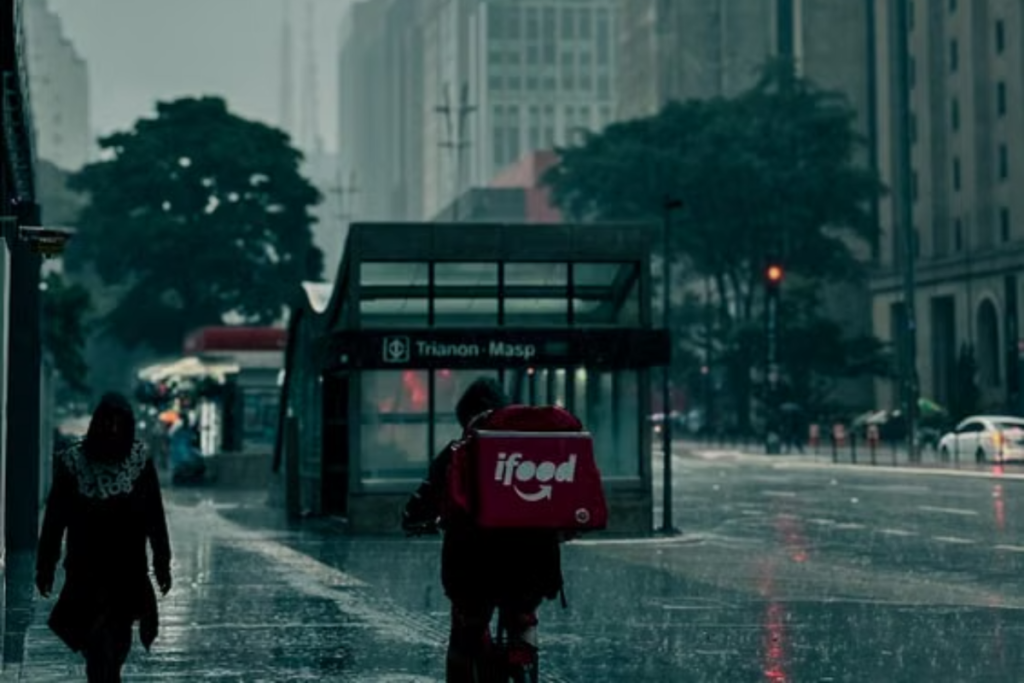
Although it was one of the most talked-about topics of the year, confirmation of El Niño’s consequences did not occur until June 2026.
The October 8 NOAA bulletin, for example, identified a +2.1 °C anomaly in the Niño 3.4 monitoring region and values exceeding +4 °C in parts of the Equatorial Pacific. These figures refer to sea surface temperature during the measurement period.
For the coming months, the National Panel already forecasts above-normal temperatures across nearly all of Brazil, with a higher probability of above-average rainfall in the Southeast and varying effects between the city of São Paulo, the interior, and the coast.
As for the other regions of Brazil, seasonal trends have triggered a weather advisory currently in effect for the South, Southeast, and Midwest, with a higher probability of above-average rainfall. Regions such as the North and Northeast, on the other hand, tend to experience less rainfall and higher temperatures.
It is worth noting that, according to NOAA, El Niño alters climate forecasts, and even during stronger episodes, its impacts are not entirely certain.
How can you protect yourself?

According to the Civil Defense Agency, to identify vulnerable areas, special attention must be paid to hillside regions, areas with a history of flooding, and riverbanks. In addition, homes on sloping terrain require constant monitoring due to the risk of landslides.
Similarly, regions prone to drought, excessive heat, and wildfires should also remain on alert and monitor the bulletins issued.