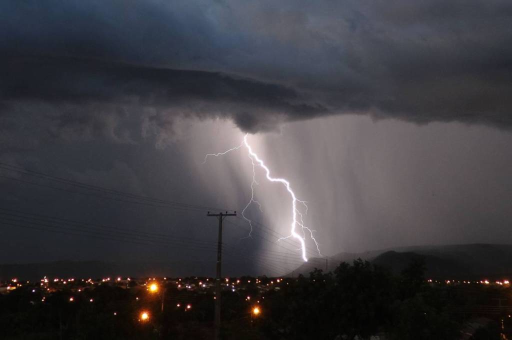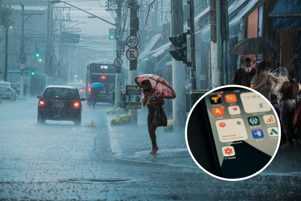

This week’s storms caused several instances of road closures and flooding in São Paulo. The most extreme event occurred on Wednesday (the 14th), when heavy rainfall led to the flooding of the Anhangabaú Tunnel and left vehicles submerged.
The São Paulo Civil Defense forecasts that the weather will remain unstable through this Saturday, the 17th. Therefore, drivers in São Paulo are advised to exercise extra caution when driving during rain, never attempt to drive through a flooded area, and seek higher ground in the event of flooding.
Another tip is to check road conditions before leaving home, avoiding routes with possible roadblocks and flooding in the city of São Paulo. Check out three useful tools below:
Flooding in São Paulo: Websites and Apps That Monitor the City in Real Time
Climate Emergency Management Center (CGE-SP)
This City Hall portal tracks weather changes and provides live updates. You can check the “Flood Map,” which shows which roads in São Paulo are passable or impassable due to flooding. The tool also issues alerts for different areas of the city.
👉 Check out the CGE-SP website here
Traffic Engineering Company (CET)
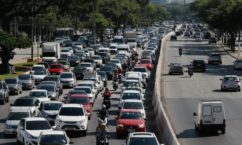
During Wednesday’s flooding, which also affected parks, avenues, and subway stations, the city of São Paulo recorded more than 1,000 kilometers of traffic congestion.
The CET website monitors traffic congestion in the capital in real time, showing which areas are experiencing the most delays. In addition, public transit riders can check “De Olho na Via,” which displays the average speed of buses on São Paulo’s main routes.
Pédagua
Developed by Climatempo in partnership with the University of São Paulo (USP), this app sends alerts about weather events. You can download it for free on your cell phone to receive warnings about the risk of flooding, high winds, flash floods, and landslides in your area.
👉 Download Pédagua on your phone